The Hutt Valley's geology presents a layered puzzle of alluvial gravels, silts, and weathered greywacke basement that changes dramatically over short distances. In Upper Hutt, where the valley floor transitions into the Tararua foothills, the depth to competent rock can vary from just a few metres near the Akatarawa Road escarpment to over 60 metres in the central basin. Seismic tomography (refraction/reflection) cuts through this ambiguity by generating a continuous velocity model of the subsurface—showing not just where the bedrock sits, but how its stiffness grades upward through the overburden. When site investigations require more than isolated borehole data, we combine the tomographic profile with targeted SPT drilling to calibrate velocity-to-N-value correlations, and where the gravels are particularly thick we integrate MASW surveys to constrain shear-wave velocity profiles for seismic site classification under NZS 1170.5.
A single borehole tells you what happens at one point; seismic tomography tells you what happens in the 50 metres between boreholes—and that's where the surprises usually hide.
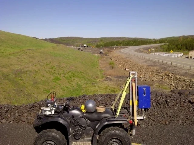
Methodology applied in Upper Hutt
Critical ground factors in Upper Hutt
A recent hillside subdivision off Wallaceville Road illustrated the risk of relying solely on scattered borehole logs in Upper Hutt. The developer had three geotechnical boreholes showing competent greywacke at depths of 4, 11, and 9 metres—a spread that suggested a moderately dipping rock surface. Seismic tomography across the same transect revealed a buried paleochannel between boreholes 1 and 2 where the bedrock plunged to 18 metres, infilled with loose, saturated gravels that would have compromised shallow footing performance. Without the continuous velocity profile, the structural engineer would have designed for a rock depth that simply wasn't there across the full building footprint, leading to differential settlement and costly remediation. This scenario repeats itself across the Hutt Valley's alluvial environment: the old river channels that deposited the gravels created an irregular bedrock topography that point investigations routinely miss. Our laboratory operates under IANZ-accredited quality systems, ensuring the velocity models you receive are reproducible and defensible for consenting under the Resource Management Act.
Our services
Our Upper Hutt seismic tomography surveys form part of a broader geotechnical investigation portfolio that takes a site from preliminary assessment through to detailed design parameters:
2D Seismic Refraction Tomography
P-wave velocity imaging for mapping bedrock depth, rippability, and overburden structure along linear transects up to 200 metres.
Seismic Reflection Profiling
Deeper imaging for basin structure, fault characterization, and sedimentary layer geometry beyond refraction penetration limits.
Combined Refraction–MASW Surveys
Simultaneous P-wave and S-wave acquisition for near-surface Vs30 classification under NZS 1170.5, essential for site-specific seismic design spectra.
Crosshole & Downhole Seismic Testing
High-resolution velocity measurements between boreholes for dynamic modulus determination and liquefaction assessment in Upper Hutt's alluvial deposits.
Frequently asked questions
What depth can seismic tomography reach in Upper Hutt's geology?
Refraction tomography typically achieves penetration of 15 to 60 metres with a 24- to 48-channel spread, depending on the source energy and the velocity contrast between the Hutt Formation alluvium and the greywacke basement. For deeper targets exceeding 60 metres—such as basin structure or suspected fault planes—reflection processing is the preferred methodology. The thick gravel sequences in the central valley can attenuate seismic energy, so we adjust source effort and geophone coupling accordingly. A site walkover beforehand helps us determine the optimal array geometry and source type for your specific location.
How does seismic tomography compare to borehole drilling for site investigation?
The two methods serve complementary roles rather than competing. Boreholes provide direct material recovery for logging, laboratory testing, and SPT N-values at discrete points, while seismic tomography delivers a continuous 2D velocity cross-section that reveals lateral variations between boreholes. The approach we recommend for Upper Hutt projects involves using a limited number of boreholes to calibrate the velocity model—correlating P-wave velocity to lithology and strength—and then relying on the tomogram to interpolate the subsurface geometry across the full site. This integrated methodology reduces the total number of boreholes required and significantly lowers the risk of missing buried channels or fault zones.
What's the typical cost range for a seismic tomography survey in Upper Hutt?
For a standard 2D refraction tomography line of 50 to 100 metres with 24 geophones, the cost generally falls between NZ$3.900 and NZ$8.600, depending on site access, terrain steepness, source type, and whether reflection processing is included. Longer or multi-line surveys, steep hillside deployments, and projects requiring explosives for deeper penetration will fall toward the upper end of or exceed that range. Each quotation is site-specific and includes data processing, interpretation, and a signed engineering report suitable for building consent submission.