The Hutt Valley's western ridgeline exposes weathered greywacke and loess-mantled slopes that have shaped Upper Hutt's residential expansion into the hills. Terrace gravels from the ancient Hutt River overlay much of the valley floor, but once you move into the Totara Park or Maoribank subdivisions, the ground profile shifts to residual soils sitting on moderately fractured bedrock. Our lab runs slope stability analysis on these materials because the combination of steep cuts, seasonal saturation, and the region's 0.40g seismic hazard factor demands more than a visual inspection. We sample, log, shear, and model the failure envelope using in-situ permeability data when groundwater perched within the loess becomes a controlling variable.
A 1.5-metre deep shear key into greywacke can double the factor of safety on a 30-degree slope under saturated conditions.
Methodology applied in Upper Hutt
Critical ground factors in Upper Hutt
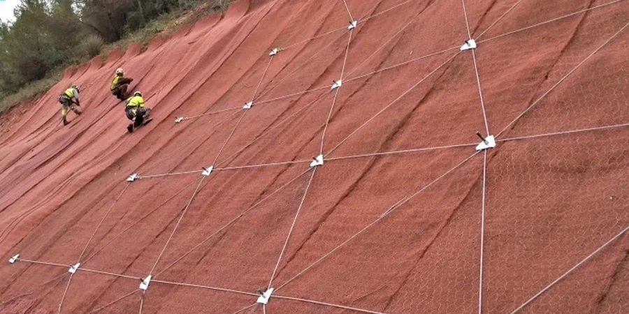
Upper Hutt's hillside subdivisions grew fast through the 1970s, with many cuts and fills placed before modern earthworks codes took effect. We see benches that were compacted without drainage blankets, and fill toes that now sit above actively eroding gullies. The real trigger here is weather: a wet winter saturates the colluvium, pore pressures rise, and a moderate shake—well within the Wellington Fault's recurrence—can drop the factor of safety below unity. We run rapid drawdown cases and post-seismic deformation checks because the consequence of a slip in a built-up catchment like Pinehaven isn't just the repair cost. It's the debris flow path that runs straight to the valley road.
Our services
We support earthworks designers and council consent applications with the following scope:
Design slope stability assessment
Limit-equilibrium modelling with Spencer and Morgenstern-Price methods, run for static, groundwater, and seismic load cases.
Back-analysis of existing slopes
Shear strength parameter calibration using documented slip surfaces, borehole logs, and piezometer records from the site.
Remedial option modelling
Comparison of shear keys, drainage measures, and regrading to achieve the required factor of safety for consent.
Frequently asked questions
What factor of safety does NZS 4404 require for a residential cut slope?
For a stable cut or fill in a residential subdivision, NZS 4404:2010 typically requires a minimum long-term static factor of safety of 1.5. Under seismic loading the minimum drops to 1.1–1.2, provided post-seismic deformation is checked and acceptable for the land use.
What does a slope stability analysis cost in Upper Hutt?
The fee ranges from NZ$1,920 to NZ$7,490 depending on slope height, number of cross-sections, and whether groundwater monitoring data is already available. A simple single-section static model sits at the lower end; a multi-section analysis with seismic and rapid drawdown cases moves toward the upper range.
How long does the analysis take once site investigation is complete?
We typically deliver a draft report within 8–12 working days after lab shear data is finalised. Complex geometries requiring finite-element validation may add a week. We align the timeline with council submission dates whenever possible.